Customize Consent Preferences

We use cookies to help you navigate efficiently and perform certain functions. You will find detailed information about all cookies under each consent category below.

The cookies that are categorized as "Necessary" are stored on your browser as they are essential for enabling the basic functionalities of the site. ... 

Always Active

Necessary cookies are required to enable the basic features of this site, such as providing secure log-in or adjusting your consent preferences. These cookies do not store any personally identifiable data.

No cookies to display.

Functional cookies help perform certain functionalities like sharing the content of the website on social media platforms, collecting feedback, and other third-party features.

No cookies to display.

Analytical cookies are used to understand how visitors interact with the website. These cookies help provide information on metrics such as the number of visitors, bounce rate, traffic source, etc.

No cookies to display.

Performance cookies are used to understand and analyze the key performance indexes of the website which helps in delivering a better user experience for the visitors.

No cookies to display.

Advertisement cookies are used to provide visitors with customized advertisements based on the pages you visited previously and to analyze the effectiveness of the ad campaigns.

No cookies to display.

Expertise to handle all size projects

Lofters & Associates Ltd

Whether you are looking for a surveyor for a simple home remodeling project, topographic maps, land title surveys, or you are breaking ground for a shopping mall, count on a professional survey company to do it right.

Surveyors ID Reports

Cadastral (Boundary) Survey

Aerial Survey

Topographical Survey

Engineering Survey

Digital Mapping

Subdivision Design & Layout
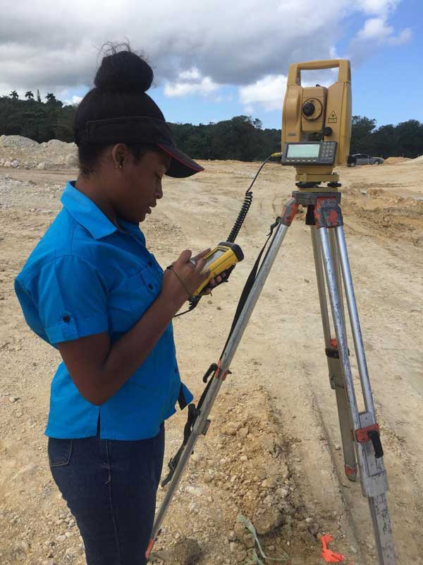
GPS Surveys

Digital Photo Mosaics
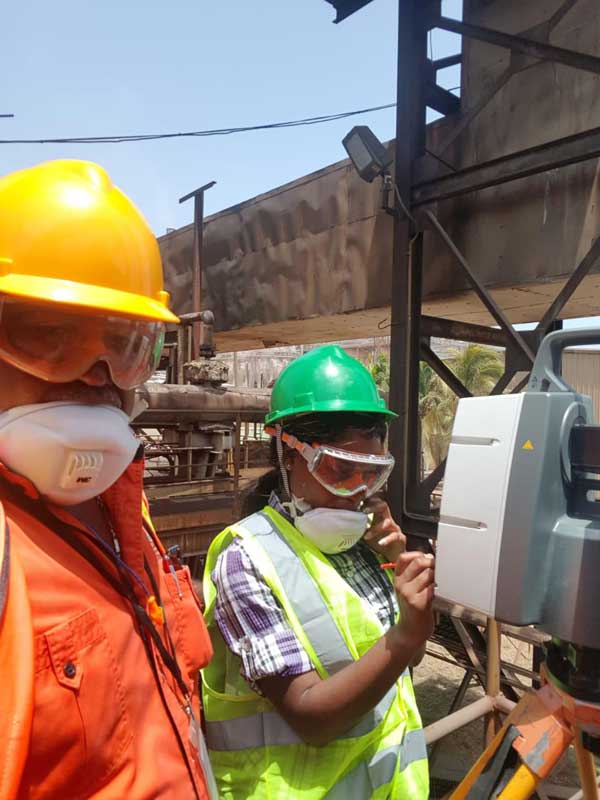
What we Do

GPS Surveys

GPS as it relates to surveying, is typically used to tie your property or proposed development onto various coordinate systems. This usually includes Town GIS systems and vertical datums for Flood Plain Certificates.

Let’s Build Something.